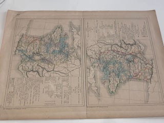
ATLAS GENERAL par L. DUSSIEUX . page 46
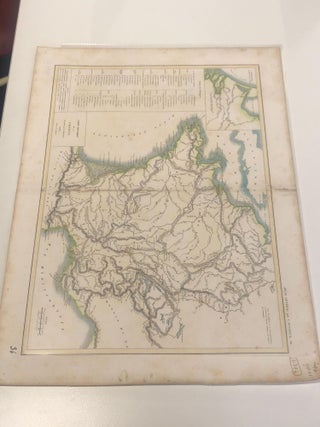
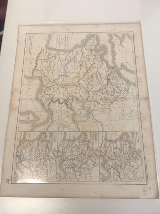
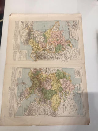
1852. No binding. Two maps from ATLAS GENERAL par L. DUSSIEUX, on page 46.
1852. No binding. Two maps from ATLAS GENERAL par L. DUSSIEUX, on page 46.
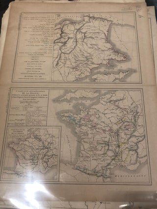
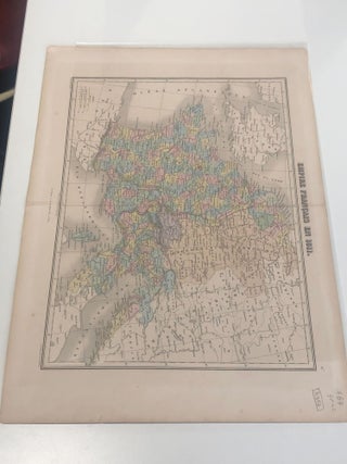
Paris: Jacques Lecoffre et Comp. 1853. No binding. Two maps related to the topic of mining in France, 1853.
No binding.
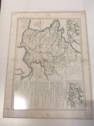
1851. No binding.
1845. No binding.
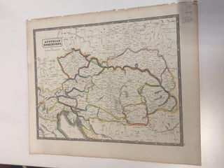
1852. No binding.

No binding. A map of Denmark with colours, no date.
Paris: 1811. No binding. A map of Empire Francais.
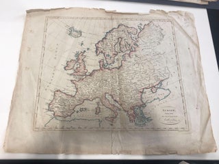
1787. No binding. A map of Europe.
No binding. Four maps combines in one, no date.
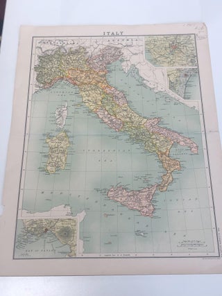
1900. No binding. A map of Italy.
1830. No binding.
1830. No binding. An original engraving hand coloured map. Very good condition.
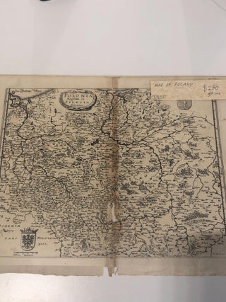
1730. No binding. A map of Poland from 1730. Good condition overall.
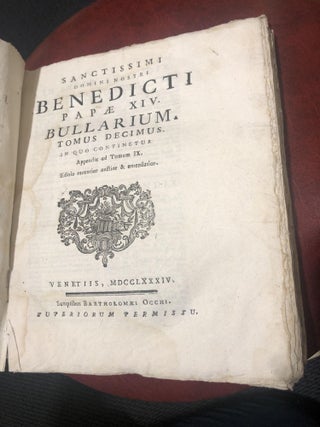
Venetiis: Bartholomaei Occhi, 1784. Soft cover. pp248, one leaf lacking (103-4). Printer's device on title page. Original paper boards, spine defective (sewn), edges uncut.
Edinburgh and London: William Blackwood, 1850. Half binding, half bound. This work has been selected by scholars as being culturally important and is part of the knowledge base of civilization as we know it. This work is in the public domain in the United States of America, and possibly.....
Wellington: The Polynesian Society, 1924. hardcover. 2 Vols. pp.xiv,528; ix,637. Numerous Illustrations. Memoirs of the Polynesian Society, vol. 5. 1941 reprint, published 1924. In original grey Constable binding, some wear to binding, else very good. Rare.
London: Strahan, 1790. Hardcover. 5 vols. Full mottled calf.
London: 1937. Eileen Mayo. Softcover. A book about ballet for children.

London: 1938. Eileen Mayo. Softcover.
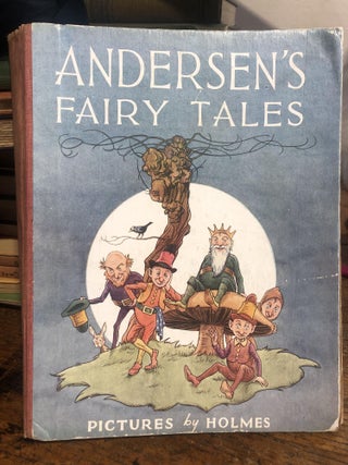
Holmes. Hard cover. 144pp, 8 x 10 inches. 8 col. plates, 7 fullpage b/w illustrations.
London: Hitch and Orrs, 1759. Hardcover. pp 319; 90, plus table of contents. Several pages of calculations. Rebound in quarter calf and marbled boards. A trade calculator.
Magpie Books, 1992. hardcover.
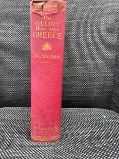
London: Sidgwick and Jackson Ltd., 1929. Various. Red cloth. 290 pp. The work is bound in red cloth, and possesses gold gilt lettering and ornamentations. There is a wax seal of a Greek hoplite. The pages are deckle-edged. There is no notable foxing present in the pages, however the top.....
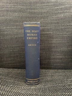
London: Macmillan and Co., Ltd., 1904. Anonymous. Fourth Edition. Blue cloth hardcover with gold gilt lettering and ornamentation. 570 pp. This edition contains various maps, drawings, illustrations and photographs. The exterior blue cloth is marked on both the front and back covers, however there isn't any damage present. The spine.....