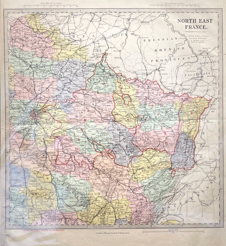
Belgium or the Netherlands Map
London: Laurie & Whittle, 1794. Unbound. c. 1840. Orig coloured engraving of Belgium & The Netherlands from Thomson's New General Atlas. Size: 720mm x 535mm. Free-floating & protected by mylar. A very nice map. Very Good, Item #14887
Price: $119.46
See all items in
Maps,
Travel Europe
