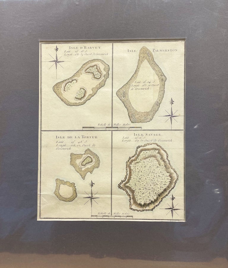
Map of Four Islands of the Cook Islands: Isle d'Harvey, Isle Palmerston, Isle de la Tortue, Isle Savage Map
BERNARD, Robert. Unbound. c. 1790. Orig engraving showing four Cook Islands: Manuae, Palmerston Island, Vato & Niue from James Cook's Pacific Ocean Voyages. Size of image 200mm x 250mm, with mat, 320mm x 380mm. A handsome early engraving. 0. Very Good. Item #15026
Price: $172.50
See all items in
Maps,
Travel Pacific
See all items by Robert BERNARD