
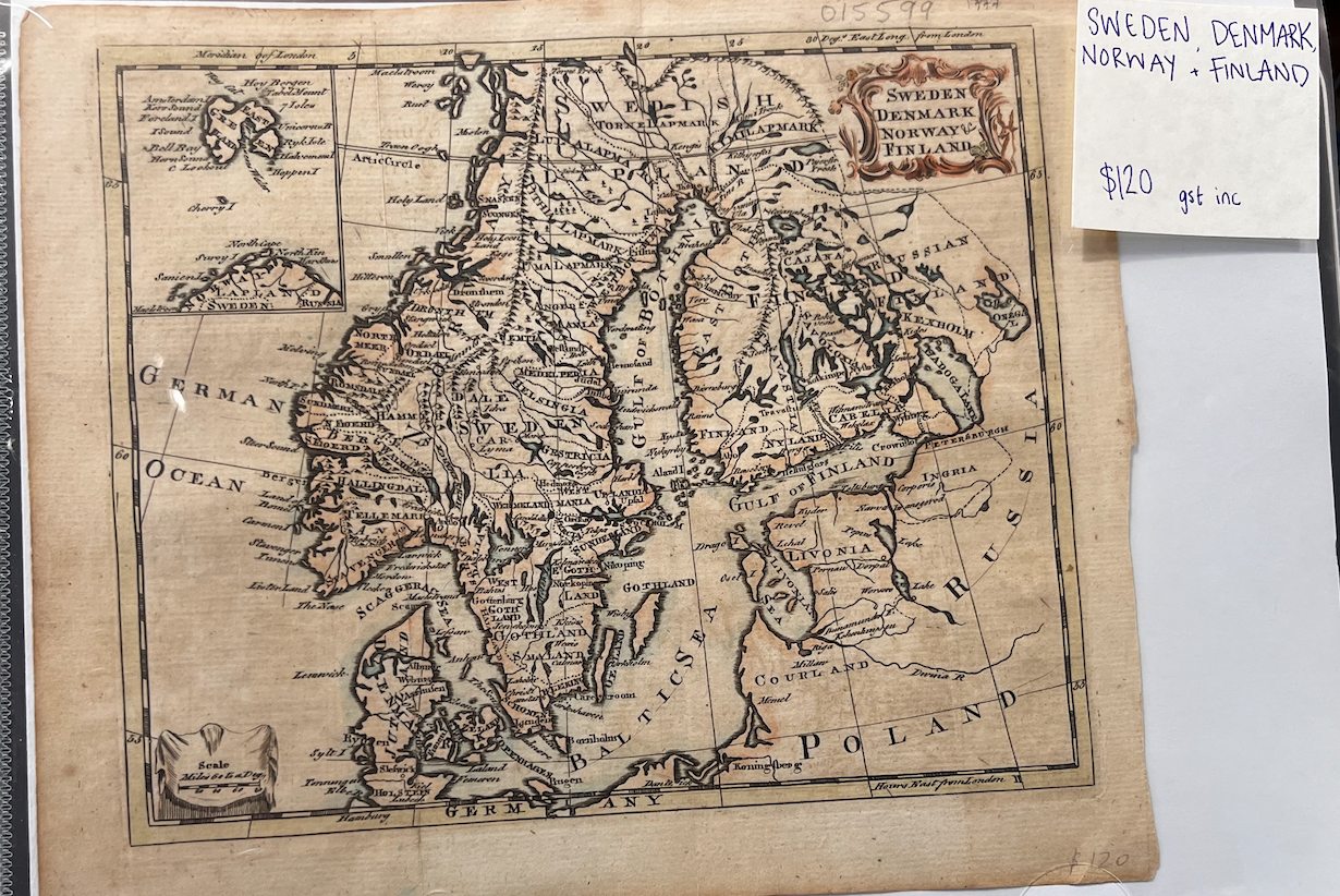
Sweden, Denmark, Norway and Finland Map
1777. Unbound. c 1777. An early hand-coloured engraved map, showing Arctic Circle, East Greenland, Swedish Lapland and Gothland; Norway's ports along the German Ocean; Finland's borders with Sweden and Russia and Gulf of Finland; Denmark and Jutland. An illustrated name plate at top right is rose-coloured. Minor wear at edges but else a very handsome small map. Height: 205 mm Width: 250 mm. Very Good. Item #15599
Price: $117.99